
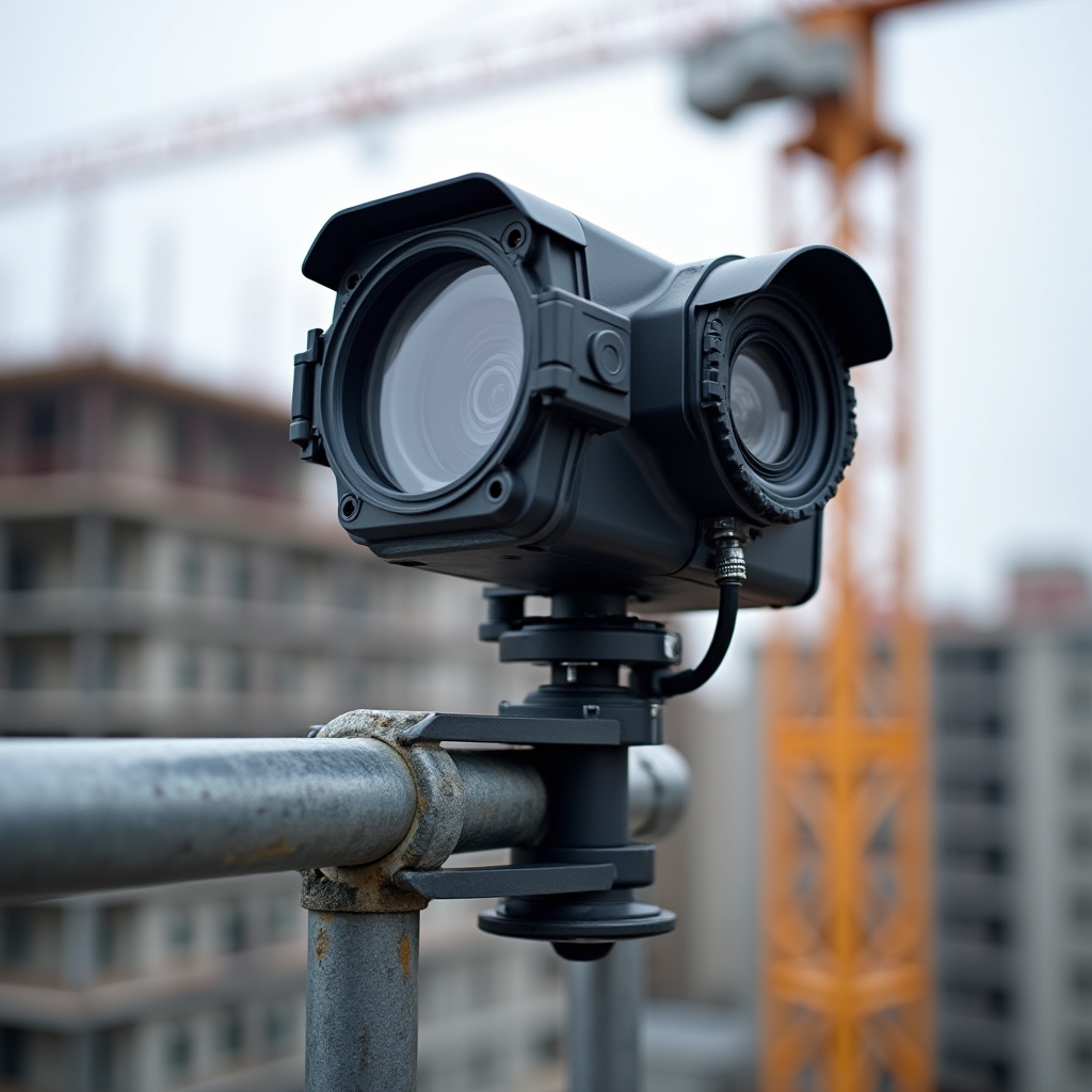
Drone
Aerial Overview
A series of aerial photographs and edited video showing the site from multiple angles and altitudes. Provides spatial context for the entire development footprint.
Each Voklino documentation package is structured, consistent, and immediately ready for distribution. Here is what developers and investors receive.
Every monthly report contains four distinct documentation layers, each serving a different communication purpose.
A series of aerial photographs and edited video showing the site from multiple angles and altitudes. Provides spatial context for the entire development footprint.

A link to a hosted 360° tour of the current interior state. Investors navigate freely between floors and rooms at their own pace, on any device.
A condensed video sequence showing the cumulative progress since project start. Updated monthly and compiled into a full project summary at completion.

A PDF and digital gallery of ground-level photographs, organised by zone and keyed to a site plan. Consistent framing allows direct month-to-month comparison.
All files are uploaded to a private cloud folder. Developers receive a single link to share with all investors — no file size limits, no email attachments.
A branded PDF summary document containing key photographs and a structured overview — suitable for formal investor communications and archiving.
Every documentation package is retained in a project archive throughout the construction period, providing a complete visual history from groundbreaking to handover.
Share your project details and we'll outline a documentation structure tailored to your project size, investor count, and timeline.
Contact Us